
PROJECT / WFO-332 / ACTIVE
North Atlantic Observation Array
A distributed network measuring atmospheric, geomagnetic, timing, and environmental conditions across the North Atlantic.
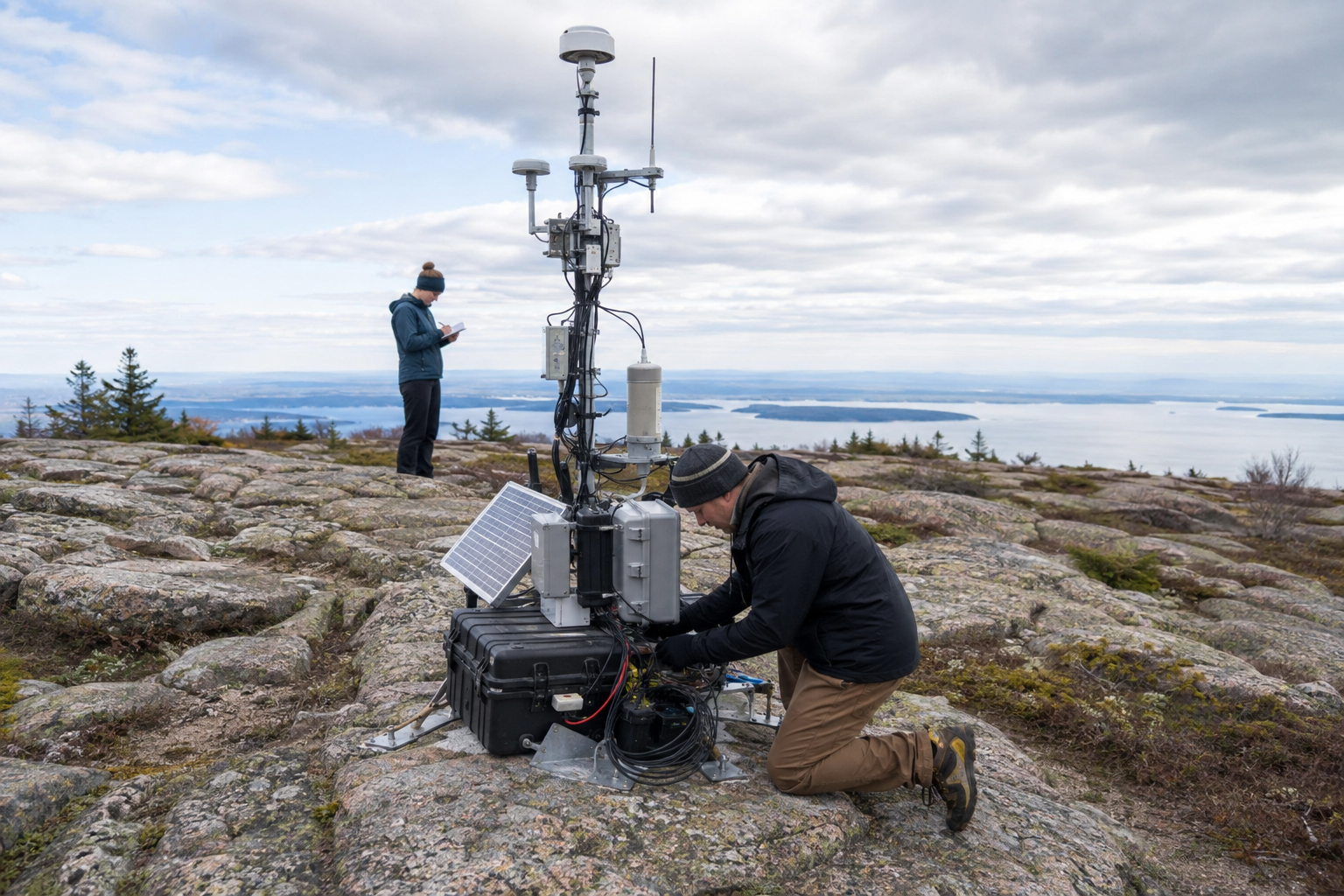
NA-17 / SITE CONTEXT
Cadillac Mountain summit sector.
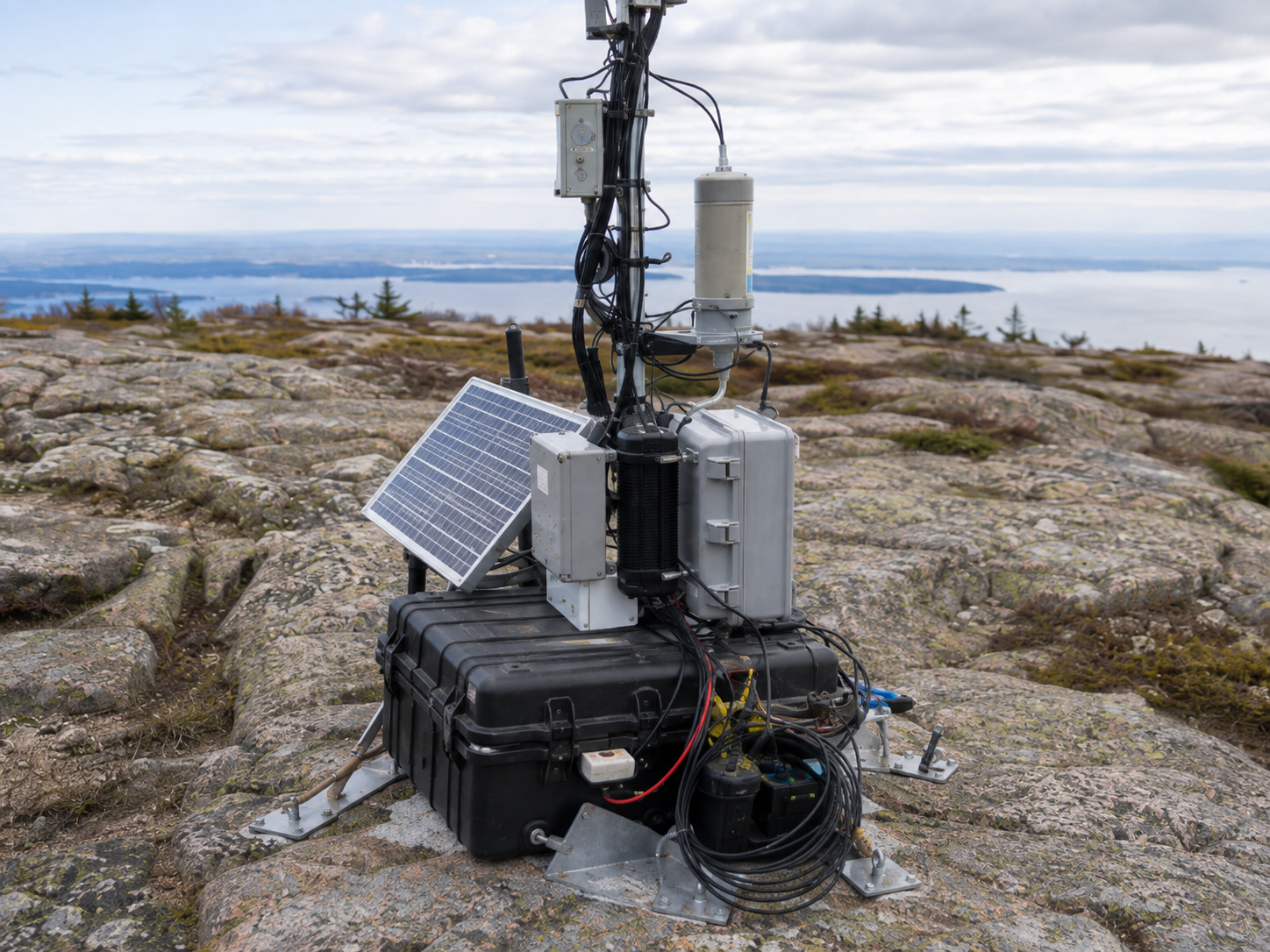
The public station coordinate, 44.3520° N / 68.2251° W, resolves to the summit area of Cadillac Mountain on Mount Desert Island. The field package is therefore represented on exposed granite with low summit vegetation and broad coastal visibility rather than in a generic wooded clearing.
- LATITUDE
- 44.3520° N
- LONGITUDE
- 68.2251° W
- TERRAIN
- Exposed granite summit
- SETTING
- Low shrubs / wind-shaped conifers / coastal horizon
FIELD / FACILITY SITES
NA-03
NA-05
NA-07
NA-12
NA-17
NA-22
METHODS
distributed observation
cross-station calibration
environmental correlation
EQUIPMENT / SYSTEMS
GNSS timing receivers
fluxgate magnetometers
atmospheric electric-field mills
broadband seismometers
RECENT ACTIVITY
2026-09-17 — seasonal magnetic baseline report completed
2026-08-18 — NA-17 dual-source condition retained
2026-08-12 — seasonal maintenance complete
2026-07-31 — station network clock comparison completed
FUNDING
ARK Weather Research Cooperative
ARK-WYM-22-04 · $1,850,000
National Science Foundation
AGS-2244117 · $3,290,000
RELATED OUTPUT
WFO-204 Distributed Calibration in Sparse Polar Sensor NetworksWFO-332 Stratospheric Gravity-Wave Interference in the North Atlantic SectorWFO-341 Persistent Phase Excursions in Distributed Atmospheric Reference SystemsWFO-429 Seasonal Baseline Correction in Coastal Magnetometer ArraysNEWS
2026-08-28Fall methods colloquium opens September 4Events2026-08-12Field Systems completes seasonal maintenance at NA-17Field2026-06-30Field Systems Annex adds mobile calibration bayFacilities